Khthon — Mass Grave Documentation and Open Source Investigation

Searching
for the
Lost.

Khthon is an OSINT and SATINT-based humanitarian NGO that locates, analyses, and reports mass graves and other war crimes in hidden conflicts around the world.

Featured Publications

How We Work

Open Source,
Verifiable Evidence

We do not have personnel on the ground in most of the environments we investigate. Instead, we work from open-source materials — commercial satellite imagery, survivor and witness testimony, leaked documents, court records, and geolocated media — verified against one another and against publicly available forensic literature.

Where evidence is ambiguous, we say so. Where access is blocked, we state that too.

How we work
SATINT
Satellite Imagery Analysis
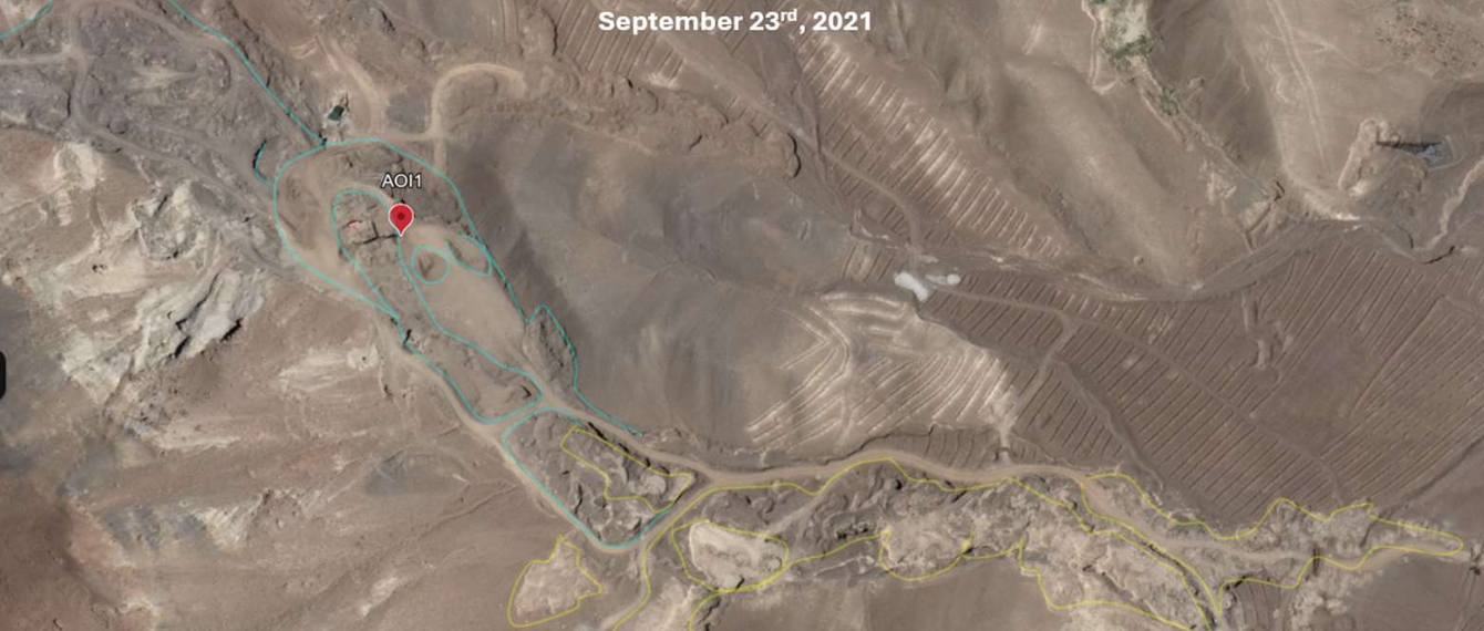
Time-series analysis of commercial imagery (Maxar, Planet, Sentinel) to detect soil disturbance, vehicle activity, and burial-consistent terrain change.
OSINT
Open Source Intelligence
Systematic review of geolocated media, court filings, NGO documentation, news archives, and government records.
HUMINT
Survivor and Witness Testimony
Corroborated accounts assessed for consistency and cross-referenced with available physical evidence.
GEOINT
Geospatial and Forensic Mapping
GIS-based spatial analysis building replicable, mappable evidentiary records.
AI/ML
Assisted Detection
Machine learning triage layer for large-scale imagery screening. All outputs verified by human analysts.

Our Reach

Where We Work,
What We Have Recorded

30+
Countries monitored
Active or recent investigations across Africa, Europe, the Middle East, and Asia.
50+
Published assessments
Individual grave site or area assessments with a documented evidentiary basis.
12
Gaza reports
Covering hospitals, mosques, stadiums, and civilian infrastructure since October 2023.
2022
Founded
A UK-registered NGO operating with volunteer analysts, researchers, and technical contributors.

Contribute

We Are a Small Team.
Good Work Takes More Hands.

Khthon operates with a core team of analysts, researchers, and technologists — almost all of whom began as volunteers. We do not require formal credentials, but we do require rigour, care, and a willingness to work carefully with sensitive material.

If you have skills in satellite imagery analysis, OSINT investigation, GIS, forensic anthropology, software development, or legal research, we want to hear from you.

Apply to volunteer

We also accept financial contributions. Khthon is a registered NGO. Donations support infrastructure, data access costs, and field verification work.

Imagery Analyst
Satellite and aerial imagery review, change detection, land-use analysis.
Open
OSINT Researcher
Open source investigation, source verification, timeline construction.
Open
GIS Specialist
Spatial data processing, ArcGIS/QGIS, forensic site mapping.
Open
Regional Analyst
Area expertise and language skills — priority: Arabic, Russian, Burmese, French (West Africa).
Open
Software / ML Engineer
Detection tooling, data pipelines, ML model development for imagery analysis.
Open
Legal Researcher
International humanitarian law, ICL, court submissions, evidence standards.
Open